Objectives
The general scientific objective of this research project is to leverage the potential of EO and GeoAI and to develop new scalable methods to monitor and improve our understanding of the spatial evolution of urban settlements with informal morphologies, their population, and exposure to multiple hazards through time, as these are largely under-researched topics.
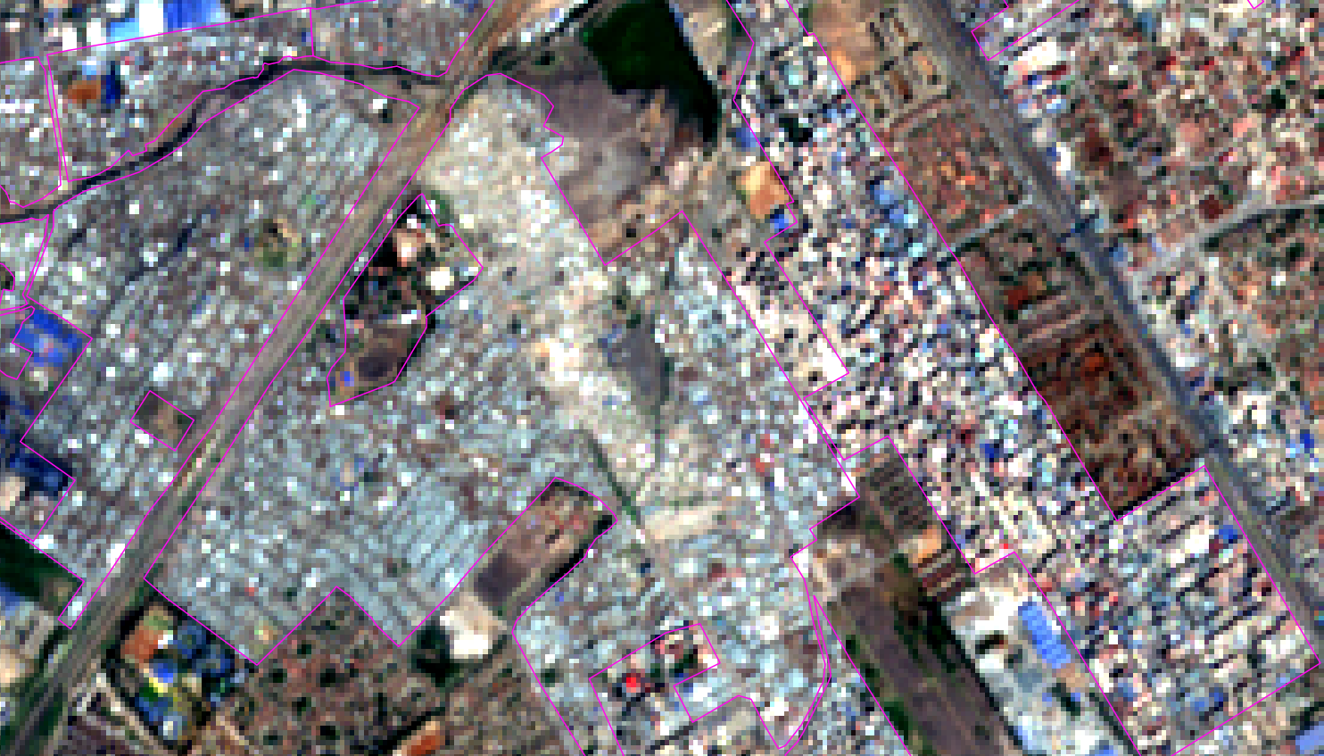
Sentinel-2
Expected scientific results:
• Innovative EO approaches for deriving variables related to the space-time dynamics of urban settlements with informal morphologies, their population, and exposure to hazards
• Insight into the potential of several super-resolution models for a real-life application in a complex urban context
• Insight into the potential of models for capturing the space-time changes of complex urban forms.
• Advancing the population modelling field beyond the state-of-the-art by tackling some of the most challenging modelling scenarios, harnessing recent advances in DL
• Framework for producing consistent indicators that can help monitor progress towards SDG targets
Expected outputs:
• An implementation of EO imagery super-resolution for the study of morphological informality
• EO-based model(s) and maps to monitor the evolution of morphological informality
• EO-based model(s) and maps to monitor the evolution of deprived urban communities
• A reproducible workflow for deriving geospatial indicators of exposure to multiple hazards