Methodology
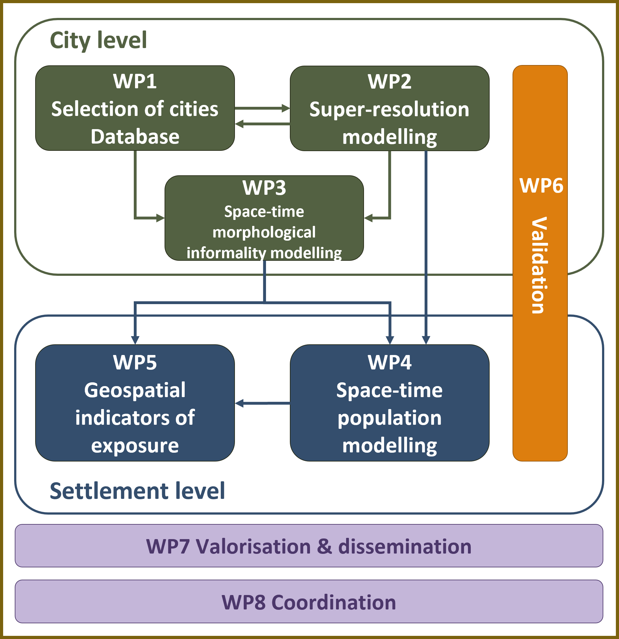
The project combines Earth Observation data with GeoAI (Machine Learning/Deep Learning).
We customise super-resolution techniques to enhance the spatial detail of freely available Sentinel-2 satellite imagery, allowing us to capture fine-scale changes.
Using these enhanced inputs, we experiment with different approaches to model the dynamics of settlements with informal morphologies in six LMIC cities for a period ranging from approximately 2016 to 2023.
Building on this, we estimate changes in their population distribution over time, using census-independent methods that account for the unique characteristics of these types of urban environments.
Finally, we assess exposure to multiple hazards, by developing a framework to derive spatial indicators of susceptibility at the neighbourhood level.
It is anticipated that these approaches, when employed in combination, will allow us to generate consistent high-resolution data to inform urban policy and planning.